
By Dare Akogun
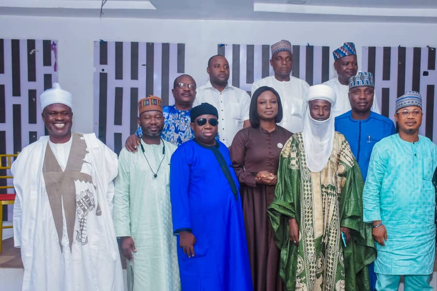
The Kwara State Government has convened key stakeholders in the livestock sector for a strategic engagement ahead of the commencement of the geospatial mapping of transhumance routes across the state.
The engagement session, held Tuesday at E-Phoenix Hotel in Ilorin, was facilitated by the Kwara State Livestock Productivity and Resilience Support Project (L-PRES) in collaboration with the Centre for Dryland Agriculture (CDA), Bayero University, Kano.
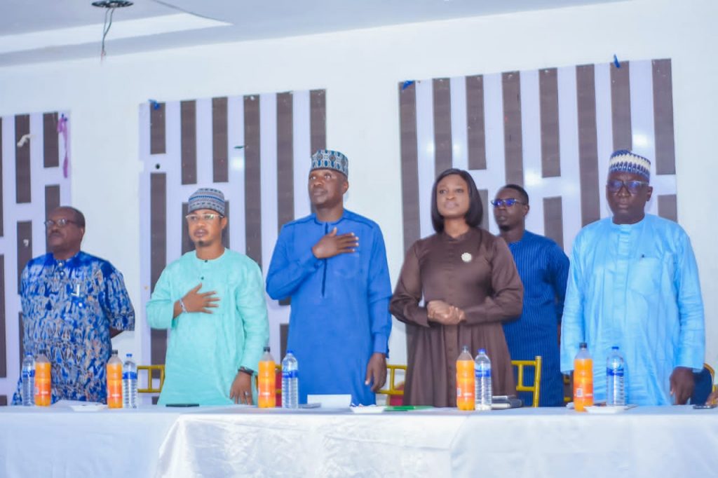
Speaking at the event Governor AbdulRahman AbdulRazaq, represented by the Commissioner for Livestock Development, Mrs. Oloruntoyosi Thomas, said the initiative would contribute significantly to sustainable livestock management, improve rural livelihoods, and promote harmony among actors in the agricultural value chain.
The governor highlighted that climate change, population growth, and urban expansion as emerging threats to traditional pastoral practices, necessitating a science-based, modern approach to managing transhumance activities.
“This geospatial mapping will not only identify key transhumance routes and their patterns but also support data-driven decision-making that benefits pastoralists and farmers alike,” he said.
He added that the project is expected to improve access to grazing areas and water, enhance livestock productivity and profitability, and ultimately reduce farmer-herder conflicts in the state.
Senior Adviser and Councillor to the Governor, Alhaji Saadudeen Salau, called for synergy between the Ministry of Livestock Development and the L-PRES Project, urging that the outcome of the mapping exercise be communicated to grassroots stakeholders for effective implementation.
Also speaking, the Special Adviser to the Governor on Special Duties, Alhaji AbdulRasaq Jidda, said the mapping initiative would help address the root causes of conflicts between herders and farmers by identifying intervention points and areas of need.
Delivering a technical presentation, Professor Muritala Gbadamosi, team lead from the CDA, explained that the project aims to improve livestock management and conflict mitigation through geospatial mapping and participatory planning.
“The mapping exercise will focus on livestock density, cropland extent, mobility patterns, and critical transhumance corridors. The data gathered will guide government interventions in water infrastructure, animal health services, and peace-building initiatives,” he stated.
Other stakeholders who contributed to the discussion included the General Manager of the Kwara State Social Investment Programme (KWASSIP), Dr. Abdulwasiu Tejidini; Chairman of the Jowuro pastoralist group in Kwara, Alhaji Tijani Usman; representatives of security agencies, Maiyeti Allah, and relevant Ministries, Departments, and Agencies.